
First ask what the information describes
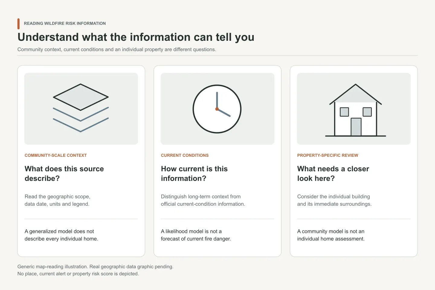
Wildfire information can describe long-term community context, current conditions, or a particular property. Those are different questions produced at different scales.
Community-scale context
Check the geographic extent, methodology, data date, and legend. A generalized model can support planning without forecasting the outcome for an individual home.
Current conditions
Use official local sources for active incidents, warnings, evacuation information, weather, and fire danger. A long-term risk map is not a current alert.
Property-specific review
A building and its immediate surroundings require closer inspection than a community map provides. Roof, attachments, access, vegetation, and construction details are not captured equally by broad models.
Wildfire Risk to Communities explains these interpretation boundaries. The artwork here is deliberately generic: it contains no place, alert, score, or geographic dataset.